Expand your Dietrich's software with suitable hardware solutions for digital surveying and automatic marking out, point clouds or orthophotos.
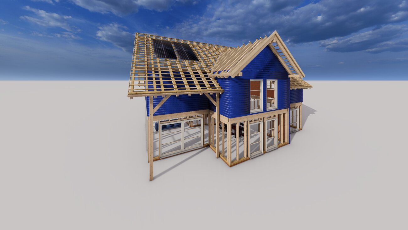
Extension and new construction, serial renovation, construction in existing buildings, adding storeys or restoration: as your building construction partner, we always have the perfectly coordinated combination of hardware and software for your requirements.
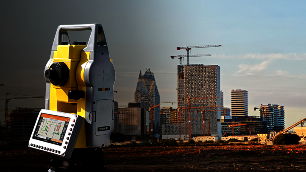
Geomax Zoom 45 - manual total station
The Zoom45 manual total station is the ideal solution for surveyors and construction teams thanks to its fast point measurements, durability and ease of use. The large display of the robust Zoom45 makes it easy to work with graphic tools in the X-PAD Ultimate field software to complete stakeout tasks quickly and easily on site. Data can be easily exchanged with the office via X-PAD 365. All work runs through the same software ecosystem to ensure an efficient digital data flow.
For more information, visit the Geomax product page
Leica iCON iCs50 - Automated construction tool
The automated Leica iCON iCS50 is a state-of-the-art construction tool for performing simple and complex stakeout and 3D measurement tasks. It is easy to learn and efficient to use right from the start. Combined with the clever Leica vPole and Leica vPen accessories, it creates a very productive solution by minimizing the time required for setting out and measuring tasks as well as the risk of errors.
For more information, visit the Leica product page
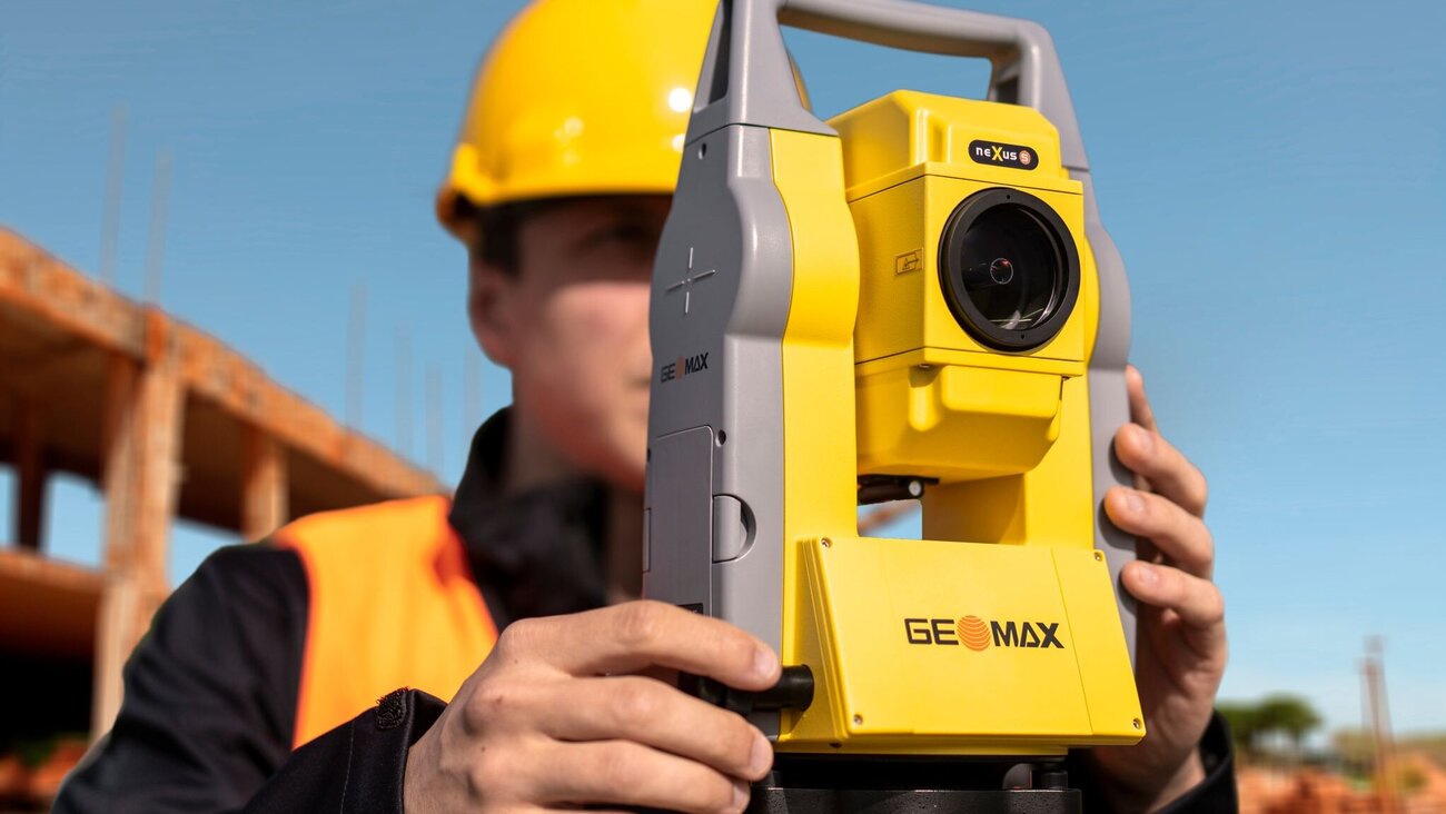
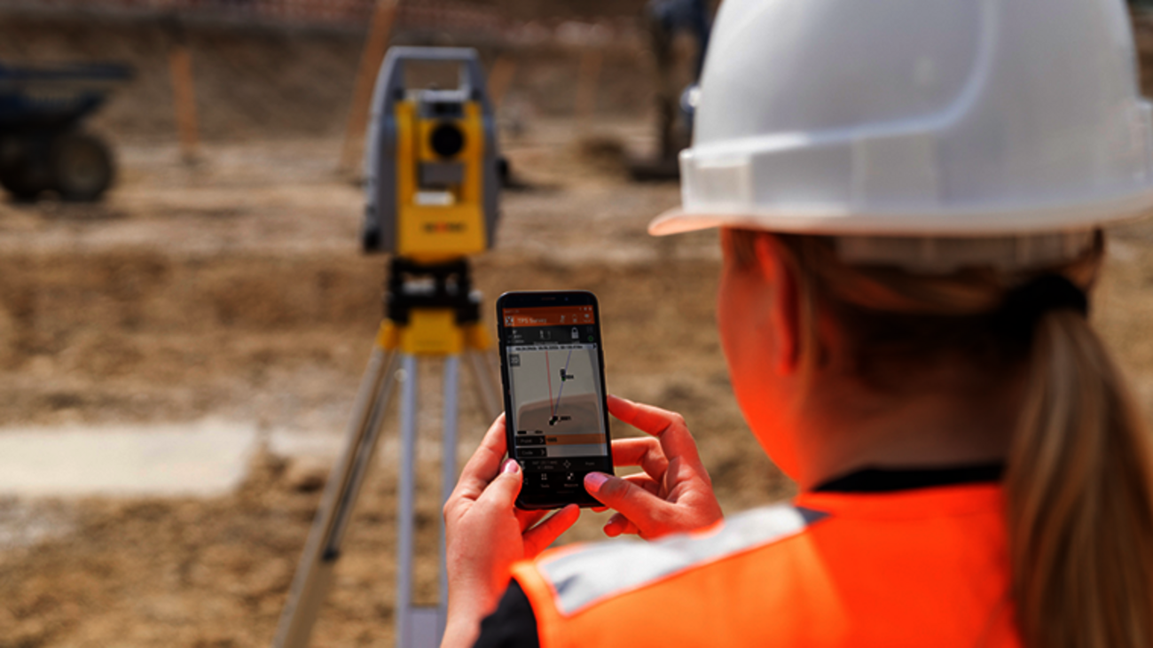
Geomax Zoom 75 – automated total station
The Zoom75 robotic TPS is the smart, affordable choice for beginners and experienced surveyors alike. A reliable one-person total station, the Zoom75 features an optional Bluetooth handle and the GeoTRAil function, which finds your prism based on the GNSS position transmitted by your field controller. In combination with the X-PAD field software, this user-friendly and flexible solution makes it easy to start digitizing your construction site.
Further information can be found on the Geomax product page
Geomax Zoom 95 – the perfect one-person total station
The Zoom95 is truly the flagship of the GeoMax TPS portfolio. The one-person total station is equipped with the advanced STReAM360 technology. It significantly reduces the time required for any surveying task while maximizing your performance and accuracy. In combination with the X-PAD field software, this user-friendly and flexible solution makes it easy to start digitizing your construction site.
Further information can be found on the Geomax product page
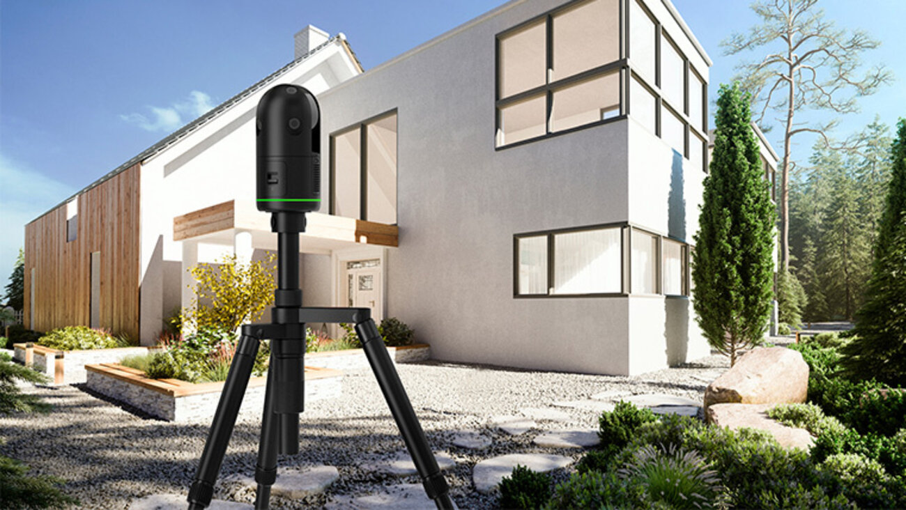
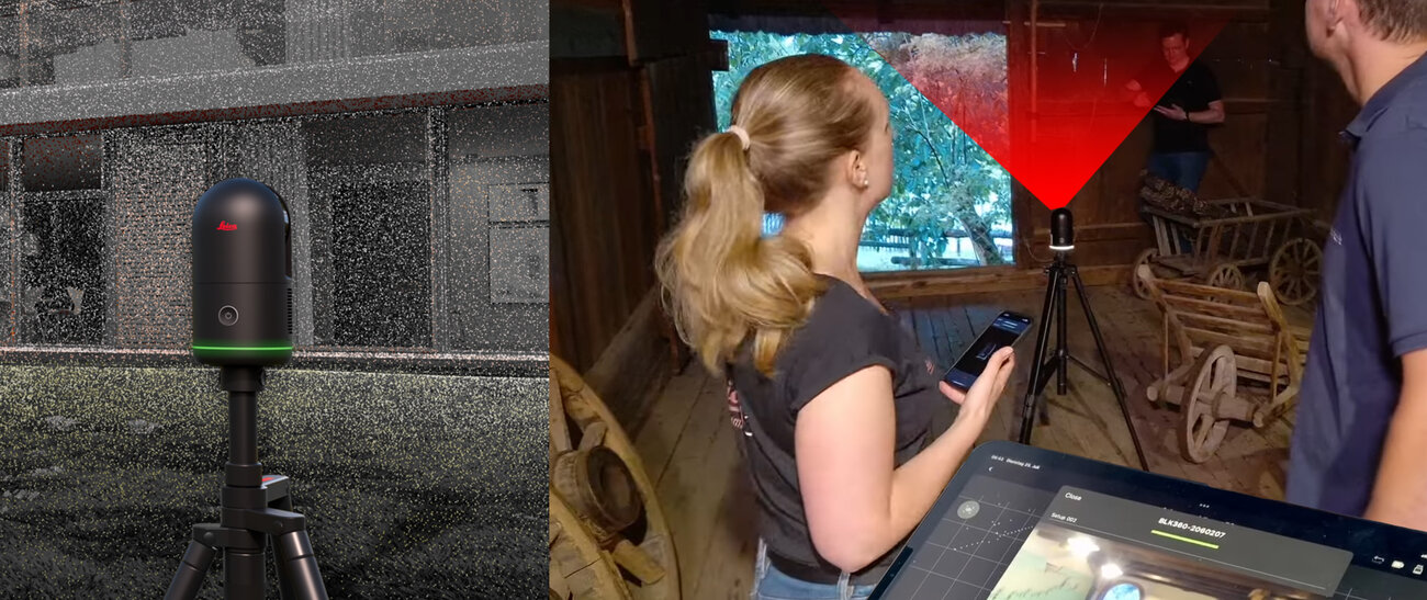
The Leica BLK360 is a high performance laser scanner that captures a full scan of spherical images in just twenty seconds. The data captured by the BLK360 is invaluable for applications ranging from architecture, engineering and construction to virtual reality.
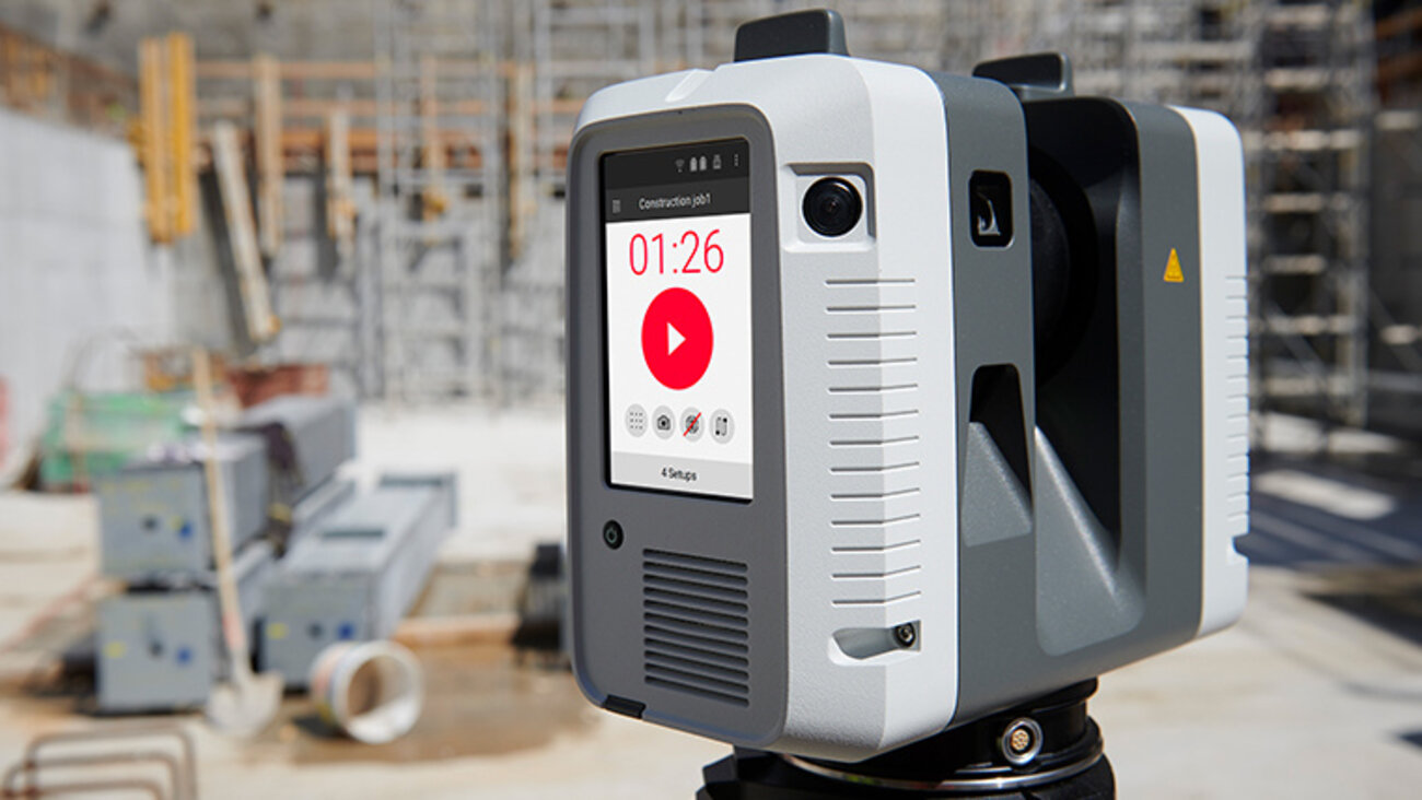
Leica RTC360 3D laser scanner - The RTC360 3D laser scanner is the solution for specialists to manage complex requirements with accurate and reliable 3D visualizations and explore the possibilities of sites.
The data can be easily transferred to your Dietrich's software ecosystem for further work.
For more information, please visit the Leica product page

The data format for exchanging point clouds is the e57 format.
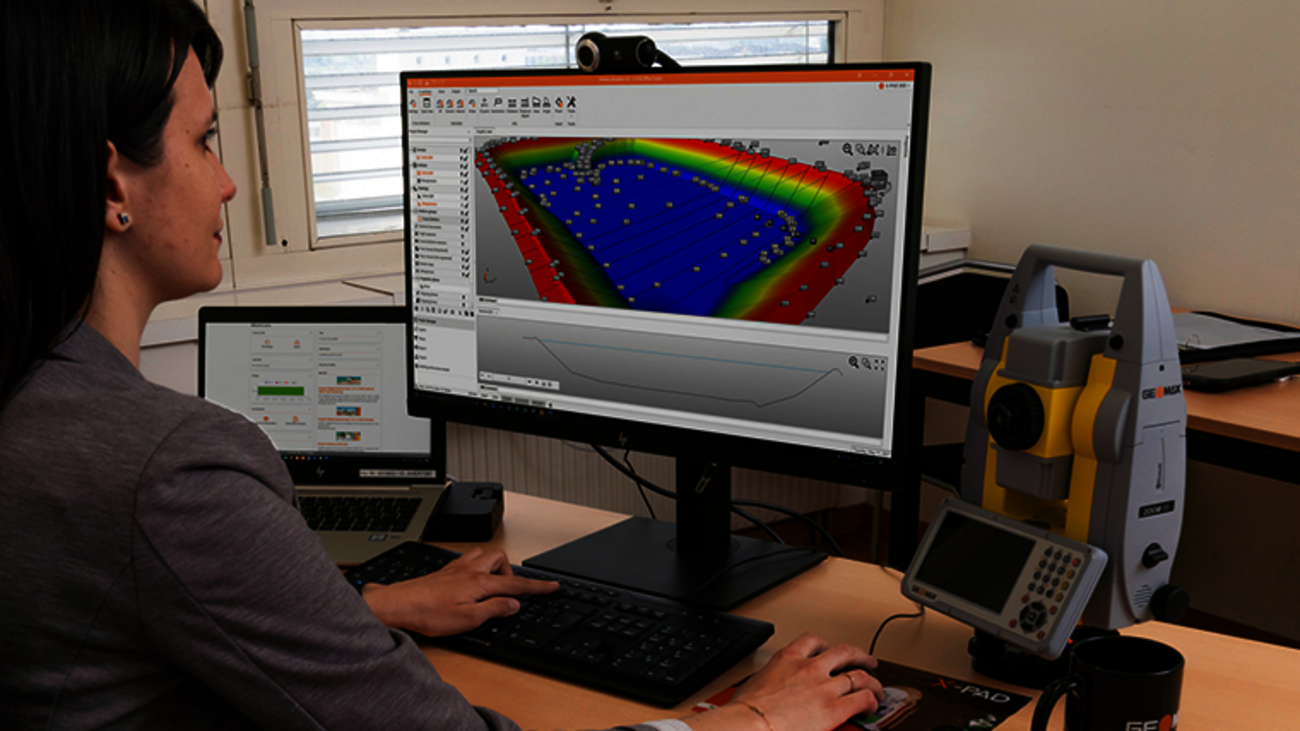
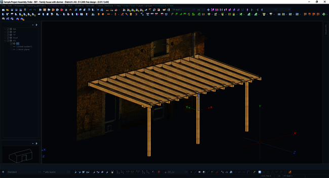
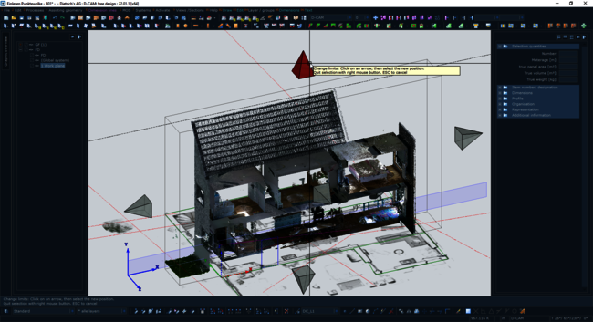
Connection of As-Built™ Modeler for processing point clouds from laser scanners of various manufacturers: transfer of points to Dietrich's Building for input of plan elements such as points and lines, creation of walls, positioning of windows or direct input of components. Orthophotos created with the As-Built™ Modeler can be imported1 and accessed directly in Dietrich's Building. Special analysis functions of the Modeler generate lines that are also transferred to the building via DXF and processed there. The construction can also be transferred from the building to the As-Built™ Modeler via OBJ2 and checked there in the point cloud.
1Prerequisite: Graphic Interfaces - Planning module
2Prerequisite: Export Visualization module
Get started with a complete package - save with bundles
We offer you attractive complete packages with various hardware products and the matching TechOns at a "bundle price". Ask us about your conditions and save money!
Test